For the first time, researchers have succeeded in mapping the invasive tree species, the Chinese privet, which is hidden beneath the tree canopy, with the aid of drones and artificial intelligence (AI). Prof. Dr.-Ing. Rolf Becker, a researcher at Rhine-Waal University of Applied Sciences (HSRW), is involved in the study. Through the Earth Observation Lab (EO-Lab), he is providing the research team at Justus Liebig University Giessen (JLU) with vital infrastructure.
How can an invasive plant species be detected in the undergrowth of a forest? To this end, the JLU research team has developed an innovative method: using standard commercial drones, oblique aerial images taken from multiple angles and artificial intelligence, they have succeeded for the first time in mapping the invasive tree of heaven (Ailanthus altissima) even in places where it had previously remained hidden – beneath the canopy of a drought-damaged forest in southern Hesse.
Invasive species such as the tree of heaven can significantly alter native ecosystems – in North Rhine-Westphalia, too, the spread of the tree of heaven is increasing as temperatures rise. However, aerial monitoring has its limitations: conventional methods analyse so-called orthomosaics – comprehensive maps viewed from above, composed of many individual images. What lies hidden beneath the tree canopy thus remains systematically invisible. This is precisely where the study comes in. The researchers analysed the drone’s raw, unprocessed images using AI and combined the results to create a three-dimensional model of the forest. The result was clear: over 40 per cent of the actual tree of heaven infestation was hidden beneath the canopy – and would have remained undetected using conventional methods.
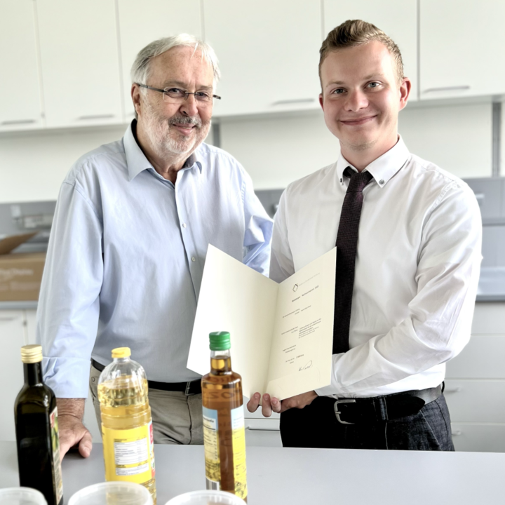
“A significant proportion of this invasion takes place out of sight, beneath the canopy,” explains PD Dr André Große-Stoltenberg from JLU. “It is only the combination of oblique aerial images and artificial intelligence that makes this hidden invasion visible – and provides a realistic picture of its actual extent.” Another finding surprised the team: the AI models performed more accurately when trained using the original, unprocessed images rather than the usual, laboriously compiled orthomosaics. “This simplifies the workflow and makes the method attractive for practical application,” says Marcel Dogotari. The graduate of HSRW was initially a Research Associate at HSRW; he has been at JLU since 2021.
“Marcel Dogotari began his academic career at Rhine-Waal University of Applied Sciences and was a long-standing member of my team. He continues to use the infrastructure of our Earth Observation Lab for his innovative sensor developments. For us, this collaboration with the University of Giessen is a fantastic opportunity to conduct joint research into pressing environmental issues of the future,” says Professor Dr.-Ing. Rolf Becker, Professor of Physics specialising in sensor technology and mechatronics at HSRW and co-author of the study.
The raw, unprocessed images from the drone flights were analysed using neural networks, a machine learning technique for the automated recognition of image content. The researchers then used photogrammetric techniques to project the results onto a georeferenced three-dimensional point cloud of the forest. This approach not only produces more accurate maps but also provides richer spatial information and is likely to be more easily transferable to other areas. As it can be applied to existing image datasets, the researchers believe it opens up new possibilities – both for monitoring invasive species and for vegetation research as a whole. The method could therefore support decision-making in nature conservation and environmental protection in the future.
The work was carried out as part of the MonA project (Monitoring of species relevant to nature conservation and restoration measures using remote sensing), which was funded by the Hessian Biodiversity Research Fund of the Hessian State Office for Nature Conservation, Environment and Geology (HLNUG). The findings were published in the journal *ISPRS Open Journal of Photogrammetry and Remote Sensing*.
Publication: Marcel Dogotari, Till Kleinebecker, Rolf Becker, André Große-Stoltenberg: ‘Mapping understorey tree invasion in a drought-affected forest using multi-view UAV imagery and deep learning’, *ISPRS Open Journal of Photogrammetry and Remote Sensing*, Volume 21, 2026, 100133, ISSN 2667-3932. https://doi.org/10.1016/j.ophoto.2026.100133